

Copyright 1988-2002 Microsoft Corp. and/or its suppliers. All rights reserved. http://www.microsoft.com/streets
Copyright 2001 by Geographic Data Technology, Inc. All rights reserved.
2001 Navigation Technologies. All rights reserved. This data includes information taken with permission from Canadian authorities Her Majesty the Queen in Right of Canada


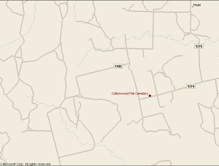
Directions: Take County Road 1105 North from the Camp Springs Road (FM1673) (Community Center is at this intersection), for about 15 miles. 1105 turns into a dirt road, and the area is open grazing, so watch for cattle on the road. The road winds around and finally dead ends, with a road sign for 1105 and an arrow pointing right. The cemetery is just down the road. Make sure to keep the gate closed on the cemetery to keep the cows out. This cemetery is still in use.
Unless noted otherwise, all photos were contributed by Charlene Beauchamp
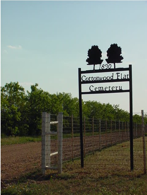
History of Cottonwood Flat Cemetery
Alphabetical Listings
A through G | H through L | M through Y
Last Updated: September 18, 2013