

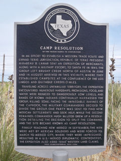
Camp Resolution of the Texan Santa Fe Expedition
Lockney, Floyd County, Texas
Address: 25 mi. E on FM 97; 5 mi. N on FM 1065
Directions: from Lockney, take FM 97 East about 25 miles, then take FM 1065 north about 5 miles.
Marker #: 5153000673
Year Dedicated: 1986
Size, type: 27" x 42" Subject
Last reported condition: Good
Camp Resolution of the Texan Santa Fe Expedition
In an effort to establish a western trade route and expand Texas jurisdiction, Republic of Texas President Mirabeau B. Lamar sent an expedition of merchants, along with a military escort, to Santa Fe in 1841. The group left Brushy Creek north of Austin in June and in August arrived in this vicinity, where they established campsites at the confluence of the Los Lingos and Quitaque Creeks (1 mi. E). Traveling across unfamiliar territory, the expedition encountered numerous hardships. Provisions, food, and water were reduced to dangerously low levels, and bands of Kiowa Indians continually harrassed the group, killing some. Facing the impassable ravines of the Caprock, the military commanders decided to divide the group. One party was sent to find New Mexican settlements and seek help, while the second remained. Commander Hugh McLeod drew up a resolution detailing the decision to split the command, and the site became known as Camp Resolution. Finally reaching New Mexico in September, the men were met by Mexican soldiers and were forced to march to Mexico City, where they were imprisoned. Resulting in a U.S.-Mexico diplomatic controversy, the expedition also aided Texas' western land claims. Texas Sesquicentennial -1836-1986
Decimal degrees: 34.299387, -101.059875
Degrees, minutes: N 34 17 57.8 W 101 03 35.5