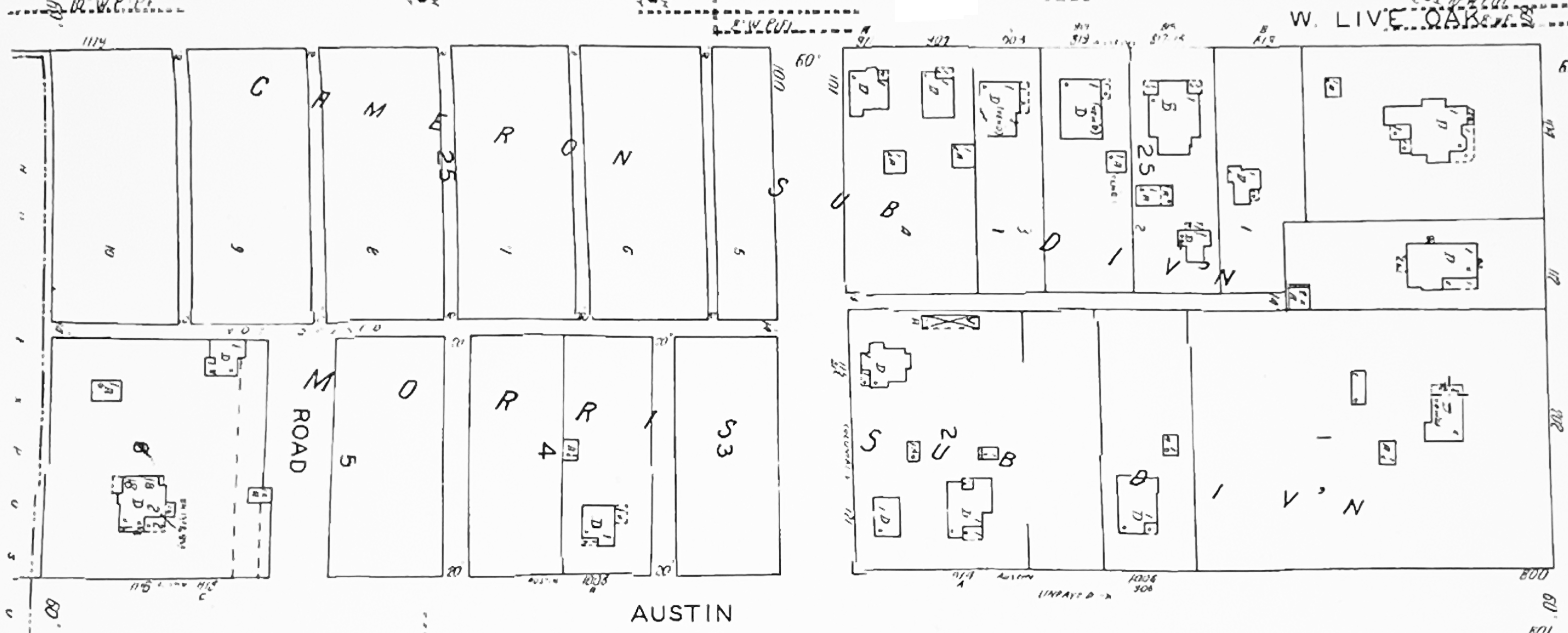
 1923 map
The first map showing
detail of Block 25 of Clow's Addition Number
1, is the map of 1923. Before that
time, the area had been surveyed, but not
developed. By 1930, the north half of
Block 25 was developed as the Cameron
Sub-Division, and the south half as the
Morris Sub-Division. Originally the
roadway dividing Block 25, running north and
south between Austin and Live Oak Streets,
was not named nor aligned with Columbus
Street to the south. By 1948, what
became a north extension of Columbus Street
was moved west to line up with Columbus
Street. (Note from Ralph
Terry: On the 1923 map, there is a
dwelling in the lot of the large house,
facing Fifth Avenue, just above the "C,"
with a line marking the lot to the left of
it. This is thought to be a servant
house for the big house facing Fifth
Avenue.)
|
The house at 916 Austin Street
was probably built between 1916 and
1923. In
1923, there was a barn and outbuildings, in
addition to the dwelling on this lot, which
covered
more than a quarter of the block, east of
what became Columbus Street. After
Columbus Street was moved to the west, a
dwelling was built east of 916 Austin
Street. This lot on which 916 Austin
Street was located, was divided into lots
where houses at 906 Austin
Street, (between
1930 and 1948), 912 Austin Street
(before 1962), and 904 Austin Street
and (after 1962).
|

1930 map |

1948 map |
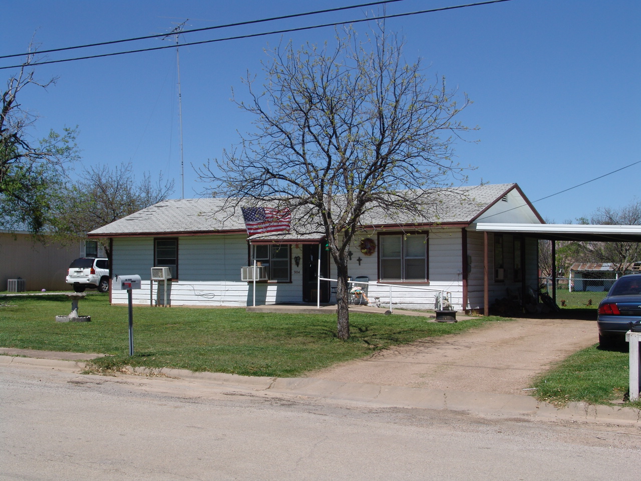
The dwelling at 904 Austin Street was built after
1962, as no mention of it is shown in the 1962
Polk's Coleman City Directory.
|
west and south sides
|

south and east
sides |
904
Austin Street - taken April 2005
digital images c Ralph
Terry
|

