Geneeral Histories
of Coleman County, Texas
Water of Coleman County
by
Ralph Terry
From A History of Coleman County
and Its People, 1985
edited by Judia and Ralph Terry, and
Vena Bob Gates - used by permission
--------------------------------------------------------------------------------
|
The county
is a part of the Colorado River
Basin, and is drained by two
well-defined water systems with
the Santa Anna Mountains on the
dividing line. The Colorado
River and its tributaries - Grape,
Elm, Panther, Bull, Camp, Home,
Hay, and Mukewater Creeks form one
source of drainage, with Home
Creek furnishing the major
supply. The northern part is
drained by the Jim Ned, which has
its source in Taylor County and
empties into Pecan Bayou in Brown
County and is fed by Hords,
Indian, Cow, Turtle Bayou, Rough,
Buffalo, Watts, and Mud
Creeks. Even with all of
this potential water, Coleman
County has always been known as a
dry county, due mainly to the lack
of rain. As people began to
settle the county, they dug wells
and cisterns, if they were not
fortunate enough to settle near a
creek or stream. |
"On the Beautiful
Colorado" - about 1900.
Near Leaday, old Day Ranch
house in background,
now (1985) home of Mr. and
Mrs. Elmo Hudson, foreman of
Miller Ranch.
|

Early dam on Hords Creek, east of
Coleman
|
|
All of the early towns dug wells
for their first water supplies,
but proved to be inadequate.
Stock tanks were dug later on, and
beginning in the 1930's many
larger tanks and lakes were
built. Today, many of the
smaller towns of the county have
their own lakes; Santa Anna has
Lake Sealy and Lake San Tana; and
Coleman has Memory Lake (Old
Coleman Lake), Lake Scarborough,
Hords Creek Lake, and Lake
Coleman. (See
Coleman Water Supply for more
information)
Santa Anna also takes much of its
water from Lake Brownwood.
The old Coleman City Lake (renamed
Memory Lake in 1976 when it was
redeveloped as a recreation area)
was built about 1910. Lake
Scarborough (50 surface acres) was
built in 1928 and with it,
Coleman's first filtration plant.
Hords Creek Lake (510 surface
acres) was constructed in 1948 and
the filtration plant on the hill
was built. Lake Coleman
(2000 surface acres) was completed
in 1966. Soon after Lake
Coleman was completed, a new water
storage tank was built, in
addition to the three tanks
already in use, gave Coleman a
storage capacity of 1,275,000
gallons of water. Lake
Coleman and Hords Creek Lake are
the only two lakes supplying water
to Coleman, but with 48,640
acre-feet of water, they can
supply over 4 million gallons per
day. With this water supply,
treated water is piped to the
south, west, and northwest parts
of the county. So you see,
Coleman County is really a "Land
of the Lakes." |

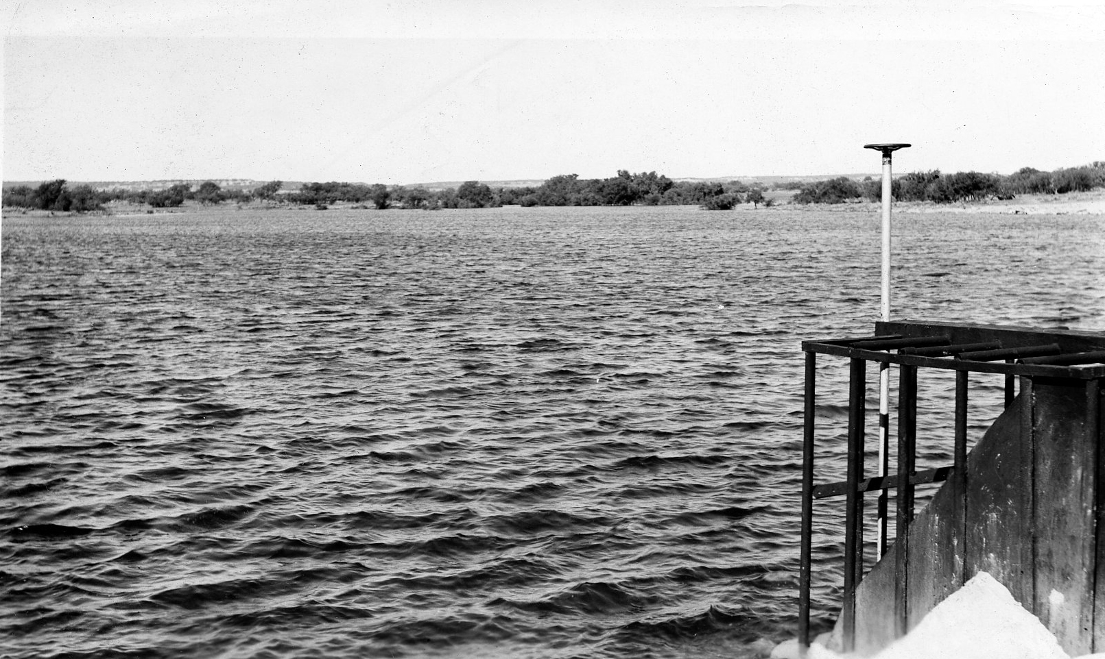
Lake on Hords
Creek. near Coleman - 1912 |

Lake Scarborough |

Coleman Lake-1968 |

Memory Lake - 1978 |
|
With as many creeks, streams, and a
river in our county, it very early
became necessary to get to the other
side. There are several
cemeteries here that were started
because the creek was up, and could
not be crossed. In the early
days of the county, crossings were
made when the creeks and river went
down. |
|
Crossings on the
Colorado River included Trap, Gin
(at Leaday), Brady Bend, Cranes,
Smith, Flat Rock, Dead Mans, Hays
(Beef Trail), Connor, Johnsons,
Chaffin, Old Walker, Old Knight,
Mitchell, and Military. It was
felt well before 1900 that the river
was a barrier to Coleman County in
annexing trade in Concho and
McCulloch Counties. The
Coleman Commercial Club (later
Chamber of Commerce), cooperating
with the Commissioners' Court of
Coleman County, proposed about 1900
that a bridge be built near Leaday
in order to improve trade. |
|
Flat slab
crossing
|
The Waldrip Bridge in the 1960s |
|
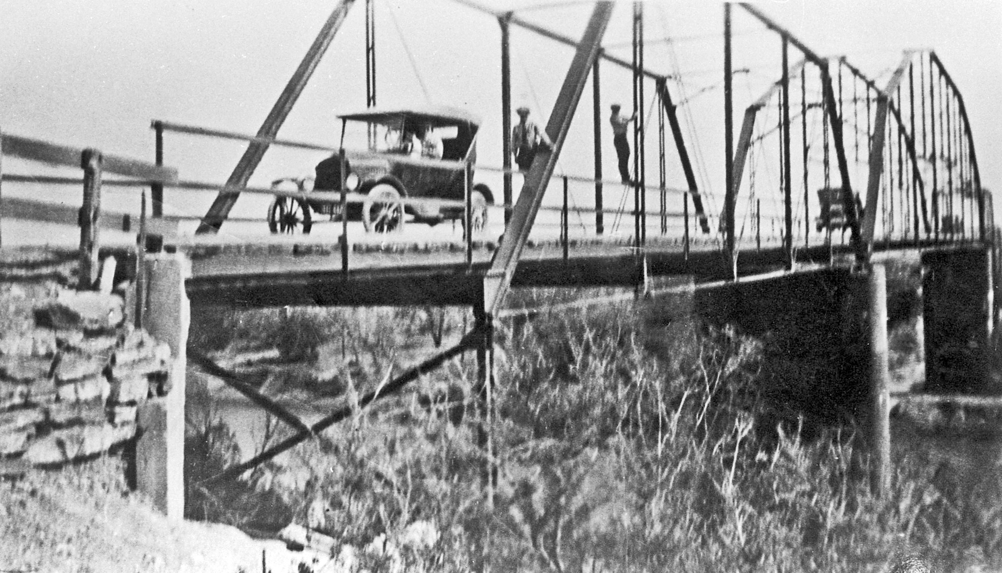
Before this time, January 23,
1894, county commissioners awarded
a contract to George D. King
Bridge Co., of Des Moines, Iowa at
a cost to Coleman County of
$6,175. It was to be located
about a mile below (east of the
old beef trail crossing, which was
also the crossing on the Coleman
to Brady road. There was a
town called Waldrip on the
McCulloch County side, which was
started in 1879, so the bridge
became known as Waldrip
Bridge. The length of the
bridge was 664½ feet. Piers
were built of rock, and the bridge
had a superstructure of wrought
iron and steel trusses.
Flood delayed the completion and
it was finished Janaury 23,
1895. Then the flood of
August 6, 1906 came, the water was
measured at 65 feet, five feet
higher than the bridge. Everything
was washed away, except the rock
piers, which were used to support
a new bridge. About this
time, bridges were being built
over many creeks in the county, so
the Waldrip bridge was not rebuilt
until November 17, 1910, when a
contract was given to Missouri
Valley Bridge and Iron Company of
Leavensworth, Kansas. Their
contract was to rebuild the
Waldrip Bridge and also build a
bridge at Connor Crossing near
Stacy (called Stacy Bridge).
Floods came again in September
1936 and the Waldrip Bridge was
again lost. This time the
Newton Bridge Company dismantled
the main span of the old Milburn
Bridge in McCulloch County (built
in 1893) and moved it to the
Waldrip site. Waldrip was on
the road to Brady until 1932, when
the road was moved, to pass
through Rockwood and a bridge was
built to cross the Colorado south
of Rockwood. This road
became State Highway 283.
The bridge was 22 feet wide and
was made up of over 460,000 pounds
of steel in the overhead beams and
the three overhead spans. As
with most old bridges, the
Rockwood Bridge was dismantled in
June 1983. A new bridge had
been built prior to its removal,
which is made up of three beams of
prestressed concrete, using no
steel. Two of these beams
are 115 feet long and one is 120
feet, making the bridge 350 feet
long. It is 40 feet wide and
is two feet lower than the old
bridge. |

Steam engine used to run the
winch, while building the Stacy
Bridge |

Supports used to build the Stacy
Bridge-1910
|

Pouring concrete for the piers of
the Stacy Bridge - 1910 |

The Stacy Bridge 1915
|

The old iron Stacy Bridge-favorite
courting place for Gouldbusk kids

The old Rockwood Bridge being
dismantled in 1983 |

The "Old Iron Bridge" - Hords Creek
east of Coleman. |
|
|