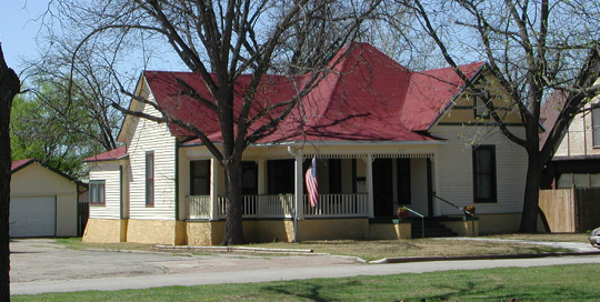
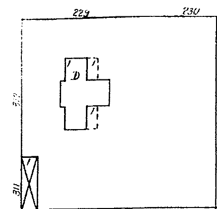
No maps for this area of Coleman prior to 1898 are available.  south side - 1898 map In 1898, it appears that the dwelling located at what would become 517 West College Avenue included the west half of this block from West College to West Elm Streets, bounded by South Nueces Street on the west. A barn or shed is located on the southwest corner of the block, with another shed behind the house.
Between
1898 and 1904, the south half of the lot was apparently sold and the
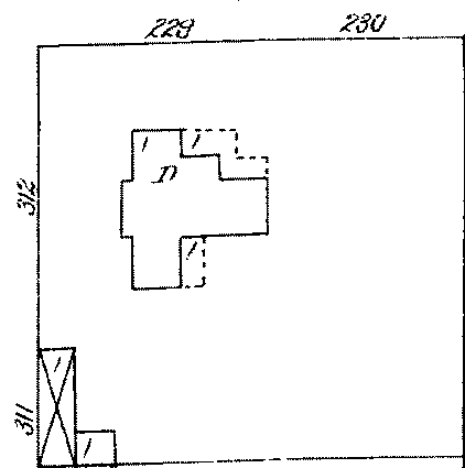
porches reduced in size. Between 1904 and 1909, the dwelling
appears to have had additions made on the east side, with the north
porch extended further around the east side.
Between
1909 and 1916, additions were made on the south side, reducing the size
of the south porch. The north porth was extended further to the
east side.
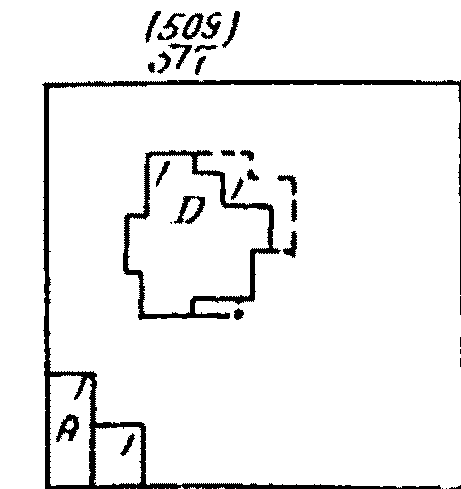
Sometime between 1923 and 1930, the dwelling which is now located at 517 West College Avenue was moved from its original location on the northwest corner of the block (which would become 519 West College Avenue) to the middle of the block (517 West College Avenue). Further additions appear to have been made to the east and southeast sides of the dwelling. "In 1929, Samuel L. Carter, and his wife Elizabeth, were residing at 517 West College Avenue. He was a driller. Rooming at this address was E. Allen Luke, a driller." (Coleman City Directory, 1929 - Hudspeth.)
 north side - March 2003 |


